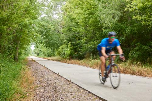
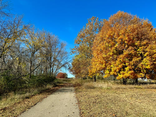
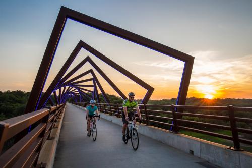
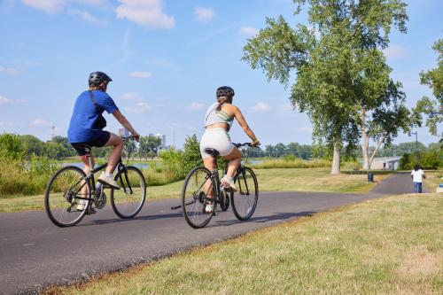
For a smoother walk, run, or jog, the Clive Greenbelt Trail is 11.3 miles of smooth asphalt, perfect for outdoor enthusiasts of all ages. This beautiful and scenic route features an iconic bridge, creek, and small waterfalls. Located in Clive, IA, this trail is close to many food or drink hotspots, so you can get your grub on, before or after enjoying the trails.
Trailheads:
• 1490 NW 86th Street, Clive
Parking
• Lions Park in Clive
• Wildwood Park, Clive
• Campbell Recreation Area, Clive
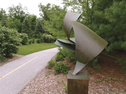
Notable features: Art along the trail, Greenbelt goats
Places to refuel: 515 Brewing